EXTREMEZONE FORUM
WWW.EXTREMEZONE.3XFORUM.RO - WWW.TORENTZ.3XFORUM.RO- WWW.PETARDEARTIFICII.CABANOVA.COM http://www.facebook.com/petardeartificiidevanzare
|
Lista Forumurilor Pe Tematici
|
EXTREMEZONE FORUM | Reguli | Inregistrare | Login
POZE EXTREMEZONE FORUM
Nu sunteti logat.
|
Nou pe simpatie:
lovely_pink
 | Femeie
24 ani
Bucuresti
cauta Barbat
26 - 49 ani |
|
blackangel11
VIP
 Inregistrat: acum 18 ani
Postari: 2118
|
|
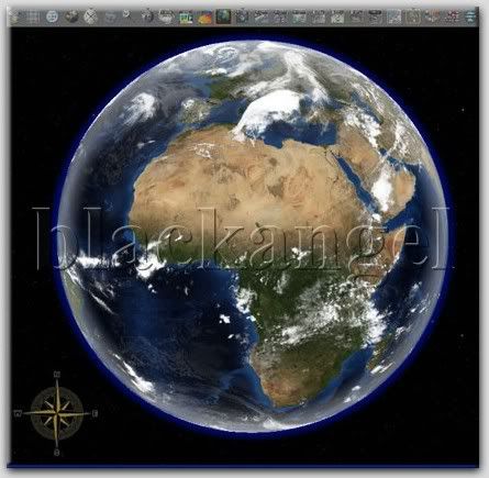
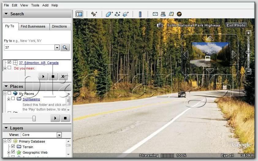
Google Earth Pro 4.2.0205.5730 Portable
With Google Earth Pro, its easy to research locations and present your discoveries. In just a few clicks, you can import site plans, property lists or client sites and share the view with your client or colleague. You can even export high-quality images to documents or the web.
Annotate and visualize
Represent your location-based data using 3D drawing tools, or transfer up to 2,500 locations by address or geospatial coordinates from a spreadsheet. The GIS Data Importing Module lets you incorporate GIS data in file formats such as .shp and .tab. Examples include parcel, demographic, and 3D building data.
Share and analyze
Share your Google Earth views and data representations with your clients as a KML, Google Earths original file format. With your upgraded Pro subscription, you get additional measurement tools (square feet, mile, acreage, radius and so on), so simply select the points on the screen using your mouse and let Google Earth calculate the rest.
Create visually powerful presentations
Export high-resolution images up to 11" x 17" (4800 pixels, sample print - 890k), and use them in documents, presentations, web or printed materials. Your audience can come along for the ride as you create your own compressed movies (.wmv, sample movie - 13MB) of the zooms and virtual tours you take in Google Earth.
Useful for many industries
Whether youre in commercial real estate, insurance or media, Google Earth Pro lets you represent geo-specific information to full dramatic effect.
THE VERY NEW FEATURE:
Explore the sky with Google Earth:
Whether youre an astronomer or stargazer, Sky in Google Earth brings millions of stars and galaxies to your fingertips.
Hidden inside Google Earth is a secret Flight Simulator that takes full advantage of Googles extensive satellite imagery.
To access the hidden feature, open Google Earth and hit Command+Option+A (note it must be capital A) or Ctrl+Alt+A if youre using a Windows Machine.
The Google Earth Flight Simulator comes with two aircraft options, a F16 Viper and the more manageable SR22 4 seater. Players have the option of commencing the game from their current location in Google Earth or can pick from a list of pre-determined runways.
Overall the game play is fairly simple in terms of control, but the striking difference is flying over real pictures of locations. I took a quick flight from San Francisco International, headed North to the Golden Gate then turn back over the city before heading towards the Valley. It wasnt perfect, but it was as good visually as the paid Microsoft Flight Simulator, and in terms of actually presenting real objects it was better.
|
|
| pus acum 18 ani |
|